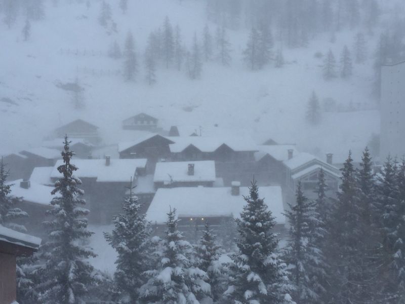
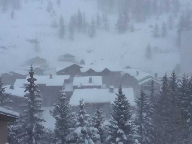
We've had reports of 30cm already on the ground (including overnight) in Espace Killy and there's more to come today.
Steve Angus (of TDC, Val d'Isere and Tignes - on Twitter at twitter.com/SteveAngusSnow) posted this picture this morning :-

Elsewhere (and that's the majority of the Alpine region), heavy snow is now falling as predicted but the really good news is that this morning's forecast runs have upped the amount of snow for many places and extended the fall further South and later into the weekend.
Generally, we're now looking at accumulations of 30-50cm and possibly more than a metre in some locations before the storm clears.
Party on!
But, as always, don't rush out into the backcountry just yet - off-piste is going to be unstable and Swiss authorities are already warning of a likely Avalanche Risk Level of 4 (out of 5) in places. Play safe!
Once the current snow does start to clear, we expect the West (France) of the region to be largely settled and clear (but very cold) for the next week, with the likelihood of regular light snow showers in the East (Austria).
